Local Story
History of Fort Mill, South Carolina
An introduction to Fort Mill history, from the Catawba region and textile-era growth to today's connected Carolina community.
Fort Mill's identity comes from layers: the Catawba region, a nineteenth-century town center, textile-era growth, and a modern community shaped by Charlotte's expansion.
01
Read the landscape carefully
Local history is visible in the town's name, street pattern, historic buildings, industrial legacy, and relationship to the Catawba River. Responsible history also recognizes that the region's story begins long before the modern town and includes Indigenous presence, conflict, agriculture, industry, and migration.
Historic core
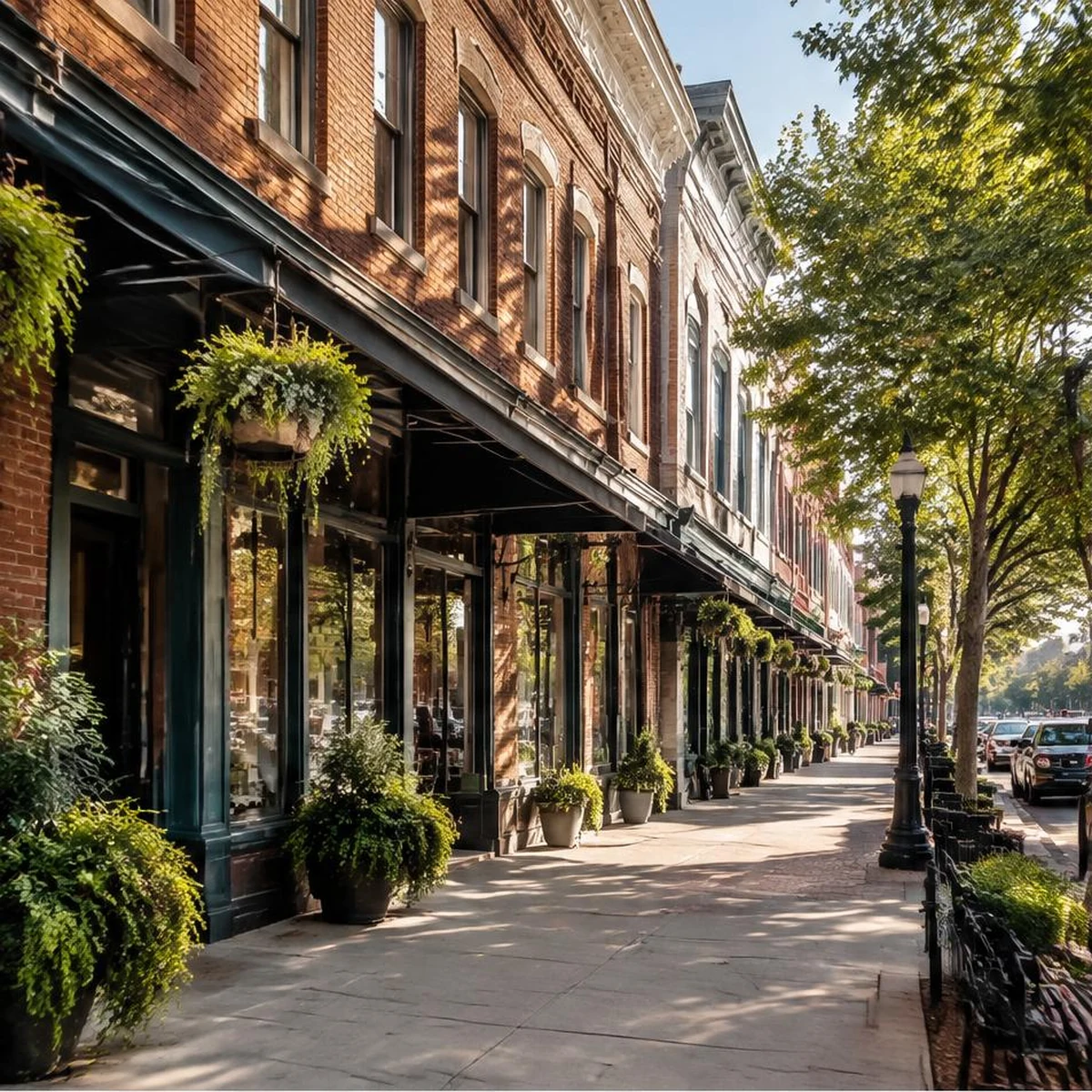
Downtown preserves the clearest public expression of Fort Mill's older civic fabric.
Textile legacy
Industry influenced the town's growth, institutions, and built environment.
Regional transformation
Late twentieth- and twenty-first-century growth connected Fort Mill more closely to metropolitan Charlotte.
02
Where to learn more
Use local historical organizations, the Town of Fort Mill, York County resources, libraries, archives, and cultural institutions for primary records and current interpretation.
03
How the past shaped today's map
Fort Mill grew as a railroad and textile town along the Catawba River, and the mill era shaped where the original streets, churches, and houses were built. The Springs family's long association with the town left a lasting mark, including the land that became the Anne Springs Close Greenway, one of the defining open spaces in the area.
As Charlotte expanded south, farmland around the old town was gradually planned into communities like Baxter Village, Kingsley, and the neighborhoods along the SC 160 and US 21 corridors. Understanding that sequence helps buyers read the landscape: the historic core near Main Street, planned village-style development on former Springs land, and newer subdivisions farther out where larger tracts remained available.
04
How history shows up in today's neighborhoods
Fort Mill's past is visible in the landscape. The railroad corridor and the old mill sites explain where downtown sits and why Main Street looks the way it does. The Springs family's long presence explains the scale of the Anne Springs Close Greenway, one of the largest private nature preserves in the region, and the planned growth of Baxter Village and Kingsley on former family land.
The Catawba River, which forms much of the eastern and northern boundary of the area, shaped settlement long before the town existed and remains central to the Catawba Nation's heritage. Lake Wylie, created by damming the river, explains the waterfront communities of Tega Cay and the Lake Wylie area.
Understanding that history helps buyers read the map: older homes and larger lots near downtown, planned villages on former farmland, and lake communities where the river once ran freely. The Downtown, Greenway, Baxter Village, and Tega Cay guides go deeper into each.
Continue Exploring